Remote GeoSystems works to get location-linked video off the ground
FORT COLLINS — Jeff Dahlke sees drones becoming a little bit like toasters. Everybody’s going to have one.
That’s why his Fort Collins-based startup, Remote GeoSystems Inc., is expanding its reach into the unmanned aerial vehicle space.
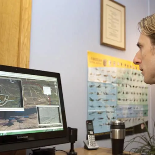
Since launching in 2011, Remote Geo has been focused on taking video imagery from cameras mounted on both aircraft and automobiles and syncing the video with a map to add geospatial and time components. In large part, the company’s hardware and software are used in industries that have long sets of linear aspects that need regular inspection, such as…
THIS ARTICLE IS FOR SUBSCRIBERS ONLY
Continue reading for less than $3 per week!
Get a month of award-winning local business news, trends and insights
Access award-winning content today!